15 to 30 centimeters of snow are expected Tuesday
Environment Canada has issued a winter storm watch in effect for Tuesday. Heavy snow and blowing snow on tap beginning tomorrow morning.
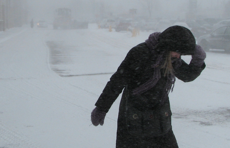
A low pressure system developing over the Central United States will track toward the coast of New England on Tuesday as it intensified. According to the latest analyses, this system will hit much of Southern, Central and Eastern Quebec with snow beginning Tuesday morning. Snowfall amounts expected through Wednesday evening could exceed 15 and 30 centimeters over a number of areas, especially in the Eastern Townships and Gaspe Peninsula.
In addition, strong north-easterly winds will develop resulting in widespread blowing snow. "Visibility may be suddenly reduced at times in heavy snow. There may be a significant impact on rush hour traffic in urban areas", says Environment Canada.
Brome-Missisquoi, Châteauguay – La Prairie, Coaticook, Granby – Waterloo, Hemmingford, Huntingdon, Lacolle, Longueuil – Varennes, Mont-Orford – lac Memphrémagog, Saint-Jean – Marieville, Saint-Rémi, Sorel – Yamaska, Soulanges, Valleyfield – Beauharnois, Vaudreuil et Verchères – Beloeil are the areas affect by the winter storm watch.
TC Media