Heavy rain is expected
After the springtime snow, rain, heavy at times, and a mixed bag of precipitation are expected.
A major low arriving from the American Midwest will move to lie over the Great Lakes Tuesday. It will bring a mix of precipitation, from rain over westernmost regions to snow over central regions of the province, with an area of freezing rain in between.
After a short lull on Wednesday, another system is on the way for Thursday and Friday. More rain is expected across the regions, as well as a mixed bag of precipitation.
Environment Canada is following the major low. A special weather statement is in effect for Hemmingford, Huntingdon, Saint-Rémi, Soulanges, Valleyfield – Beauharnois, Vaudreuil, Lacolle, Saint-Jean – Marieville, Sorel – Yamaska, Verchères – Beloeil, Châteauguay – La Prairie, Longueuil, Varennes, Brome-Missisquoi, Coaticook, Granby – Waterloo and Mont-Orford – Lac Memphrémagog.
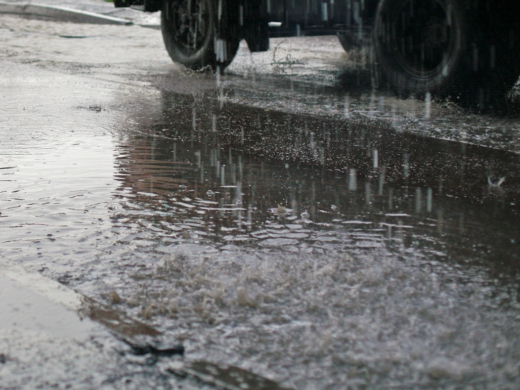
Heavy rain
Some areas in Montérégie will be touch by an episode of heavy rain. Rainfall amounts of 25 to 30 millimeters are expected over these areas beginning early Tuesday.
Localized flooding in low-lying areas is possible. "Don't approach washouts near rivers, creeks and culverts" says Environment Canada.
Lacolle, Saint-Jean – Marieville, Sorel – Yamaska, Verchères – Beloeil, Châteauguay – La Prairie et Longueuil – Varennes are concerned by the rainfall warning in effect.
TC Media